Indicador carga

Urban Planning

Representation of Madrid's urban environment

The digital twin allows a detailed and realistic representation of Madrid's urban environment, including the layout and distribution of relevant buildings and structures.

It provides accurate information about the position, description, year of construction and links to the urbanistic data sheet of each relevant building and structure in Madrid.
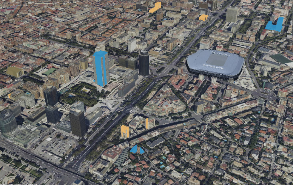
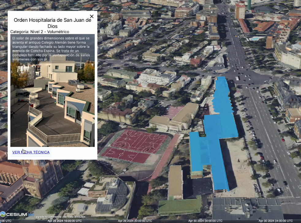
Foto principal ficha

Areas of activities


Esquema ámbitos

Foto ficha 2

Technical integrations

  • Integration of 2D and 3D Cartography: allows a detailed and realistic representation of the urban environment of Madrid, including the layout and distribution of relevant buildings and structures.
  • Integration of urban data sources: provides accurate information on the position, description, year of construction and links to the urban planning file of each building and relevant structure in Madrid.

Data Source

  • Urban data sources: these include municipal databases, building registers, urban planning regulatory sheets and other sources that contain detailed information on the urban structure of Madrid.

Areas of action

  • Analysis icon Analysis
  • Simulations icon Simulations
  • 3D Models icon 3D Models
  • Artificial Intelligence icon Artificial Intelligence
  • Cloud and point maps icon Cloud and point maps
  • Data icon Data