
Integrated Urban Planning and Development
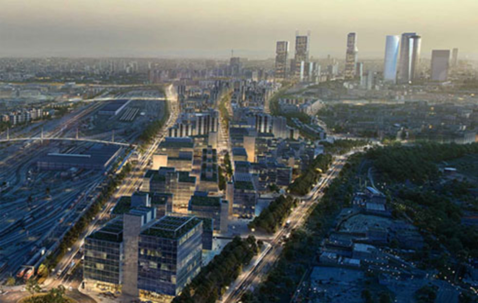
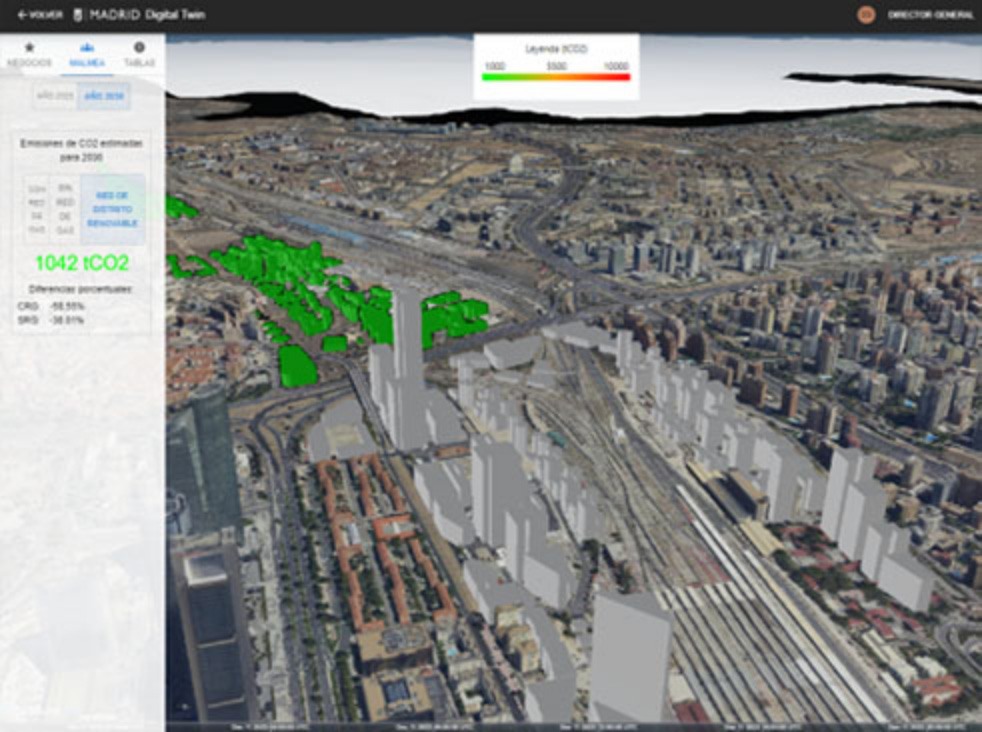
The digital twin allows the integration of 3D mapping of different urban planning proposals and the integration of associated information, such as, for example, the estimated CO2 emissions of the different plots projected to the year 2030.
Through the integration of estimates and predictive models, the system could assess the environmental impact in terms of CO2 emissions, allowing to visualise and contrast different sustainable urban planning strategies, reduce the emission of polluting gases and improve the efficiency of buildings. It could also be applied to waste management and the implementation of green spaces, in order to create a carbon balance in the city. In all cases improving management and planning and information for citizens.

