Indicador carga

M30 “Madrid Nudo Norte”

Automatic calculations of infrastructure variables

The digital twin facilitates the application of artificial intelligence algorithms on point clouds and 2D and 3D cartography to perform automatic calculations of the different variables of an infrastructure: gauge, inclination or width of lanes, radius of curvature or height of the safety barrier, among others.

These calculations allow both to improve predictive maintenance actions and to facilitate operations on the infrastructure itself.
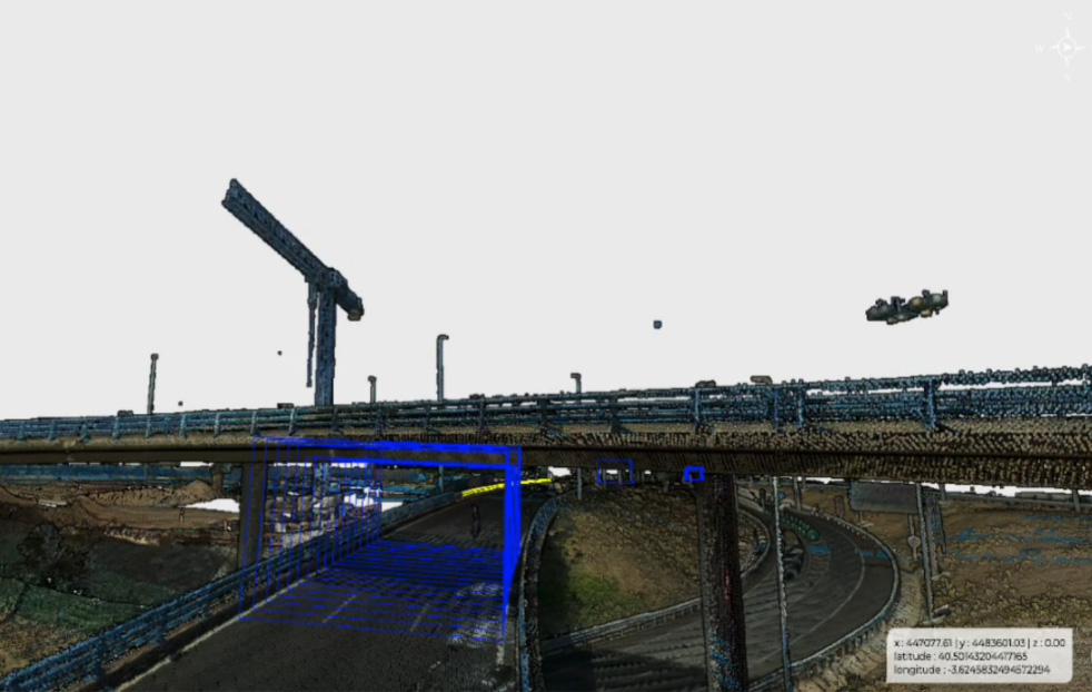
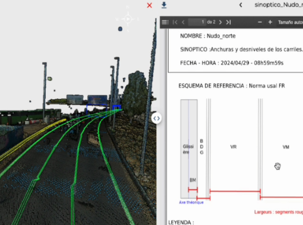
Foto principal ficha

Areas of activities


Esquema ámbitos

Foto ficha 2

Technical integrations

  • Integration of different data sources in a geo-referenced federated model, allowing a detailed representation of urban space and the interpretation of geospatial patterns.
  • Application of artificial intelligence algorithms on point clouds for recognition of infrastructure objects (vertical gauge, safety barriers, etc.). Automatic calculations of magnitudes such as rails inclination or width , curvature radius , height of safety barriers..

Data Source

  • Integration of high-resolution point clouds provided for detailed mapping and analysis of urban space, facilitating the management of infrastructures and urban assets.
  • Vectorized elements generated as a result of AI algorithms, essential for detection, inspection, and inventory analysis accurately.

Areas of action

  • Analysis icon Analysis
  • Simulations icon Simulations
  • 3D Models icon 3D Models
  • Artificial Intelligence icon Artificial Intelligence
Imagen preview video Play

Nudo Norte Madrid

Imagen preview video Play

M30