Indicador carga

Landscape of Light

Integration, Visualisation and Simulation

The digital twin shows the location of different monuments, buildings and unique trees that are integrated into the Landscape of Light.

It illustrates the efficient integration of various data sources, including environmental noise sensors and other factors, and the application of advanced simulations with the aim of optimising management and planning in urban and natural environments, thus improving the quality of life and the sustainability of the environment.
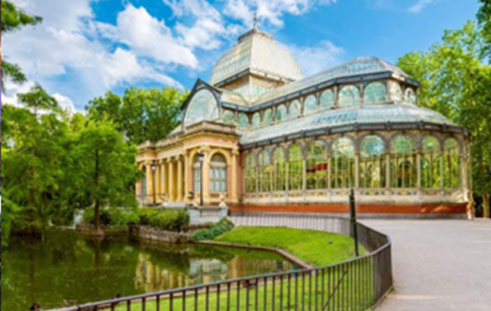
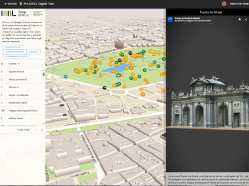
Foto principal ficha

Areas of activities


Esquema ámbitos

Foto ficha 2

Technical integrations

  • 3D Modelling and Visualisation: Use of platforms for the processing and analysis of geospatial data as well as 3D models.
  • Simulation and Analysis: Implementation of simulation engines for modelling environmental noise and climatic factors impacting the urban and natural environment.
  • Sensorics and Real-Time Data: Integration of IoT sensors for real-time environmental data collection.

Data source

  • 3D models and historical and updated information from urban planning databases and heritage registers for the location of monuments and unique trees.
  • Data collected directly from environmental sensors, including noise levels, temperature, humidity and air quality.

Areas of action

  • Sensors icon Sensors
  • 3D Models icon 3D Models
  • Data icon Data
  • Simulations icon Simulations